News Excerpt:
The European Union (EU) activated its Copernicus Emergency Management Service (EMS) satellite mapping service at Iran’s request for locating the crashed chopper of president due to adverse weather conditions and darkness hindering search and rescue operations.
More About the News: The helicopter was discovered on Monday morning after an extensive search, with state media confirming the tragic deaths of President Raisi, Foreign Minister Hossein Amirabdollahian, and other officials at the crash site near the Azerbaijan border.
What is the Copernicus program:
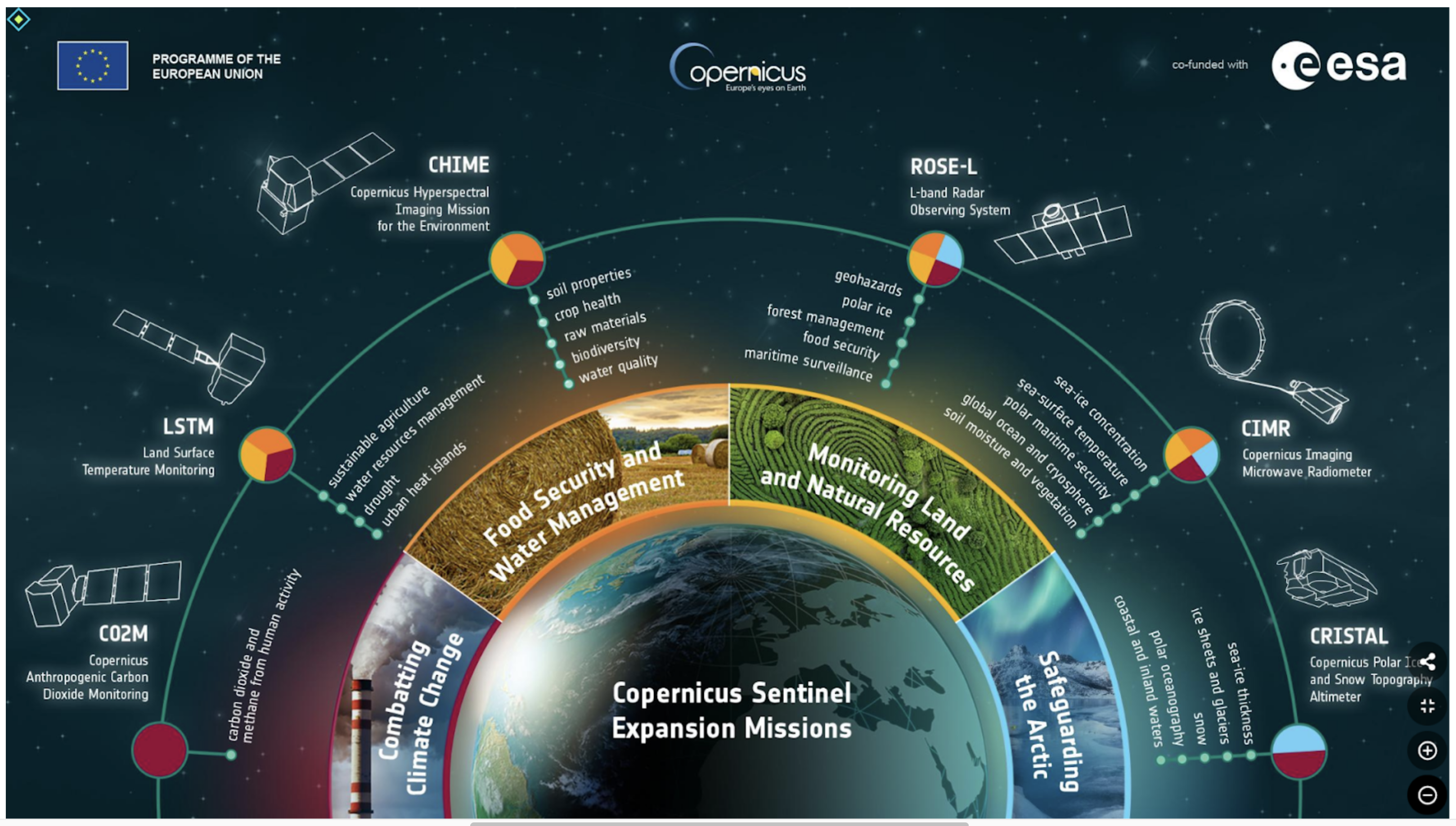
- The Copernicus program, a part of the EU’s space initiatives, is designed to monitor the Earth and its environment by collecting data from a constellation of satellites known as the Sentinels.
- It also gathers data from other missions and sources such as ground stations. Named after the renowned 15th-century scientist Nicolaus Copernicus, the program, initially launched in 1998 as the Global Monitoring for Environment and Security Program (GMES).
- It provides processed and analyzed data for various applications, including land management, marine environment monitoring, atmospheric studies, emergency response, security, and climate change adaptation.
What is Copernicus EMS & rapid response mapping service:
- The Copernicus Emergency Management Service (CEMS) stands as a pivotal entity within the broader Copernicus programme initiated by the European Union.
- Since its inception in 2012, CEMS has been instrumental in furnishing geo-spatial information derived from a variety of sources, predominantly satellite remote sensing, to facilitate the management of natural calamities, human-induced emergencies, and humanitarian crises.
- Comprising two principal components, namely the mapping component and the early warning component, CEMS caters to distinct yet interconnected facets of emergency management.
- The mapping component, encompassing rapid mapping (RM) and risk and recovery mapping (RRM), serves as a cornerstone in providing timely and relevant geospatial intelligence to decision-makers and responders.
How does rapid mapping work:
- The Copernicus EMS on-demand rapid mapping service is designed to swiftly provide geospatial information within a few hours or days following a request, particularly to aid in the immediate aftermath of emergencies or disasters globally.
- A rapid mapping activation is defined by a single event and location, although there can be multiple areas of interest (AOIs) linked to the same event. AOIs represent the geographical regions to be analyzed and mapped.
- The service offers four distinct "products," including one pre-event reference and three post-event products:
- Reference Product: Offering insights into the area of interest and pertinent assets before the occurrence of an emergency or disaster, providing essential baseline information for preparedness and response efforts.
- First Estimate Product: Furnishing a preliminary assessment of the most severely impacted areas immediately following the disaster, enabling responders to swiftly prioritize and allocate resources where they are most needed.
- Delineation Product: Delving deeper into the extent and impact of the disaster, providing updated information on the evolving situation and aiding in comprehensive situational awareness.
- Grading Product: Offering a detailed assessment of the damage incurred, including its spatial distribution and extent, facilitating informed decision-making and targeted intervention strategies in the post-disaster phase.
Conclusion:
Through its rapid mapping capabilities, CEMS plays a pivotal role in enhancing the effectiveness and efficiency of emergency response operations worldwide, enabling responders to swiftly assess the situation, allocate resources judiciously, and mitigate the impact of disasters on affected populations.